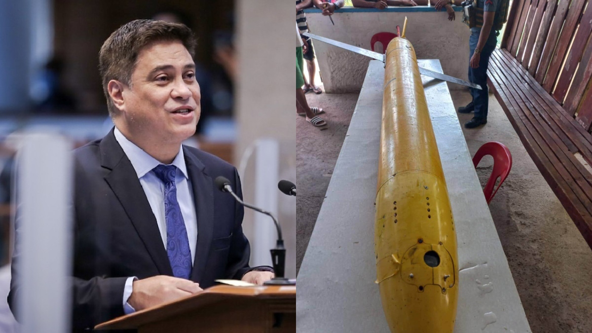
Senator Juan Miguel Zubiri has raised alarms over China’s alleged mapping of the Philippines’ underwater terrain, describing it as a national security threat.
In an Inquirer.net report, Zubiri revealed that maritime experts informed him during his tenure as Senate President that China is mapping not only the underwater areas of the West Philippine Sea but also territories in Malaysia, Indonesia, and the Philippines. He said such activities pose significant risks, particularly in the event of conflict.
“They are studying the terrain and underwater passages, which could be used during a war. This is a major national security concern,” Zubiri said, partly in Filipino.
Zubiri’s comments followed the recovery of an underwater drone with Chinese markings near San Pascual, Masbate. National Defense Undersecretary Ignacio Madriaga confirmed that such equipment could be used for scientific, commercial, or military purposes.
The senator emphasized that the incident should not be taken lightly, pointing out that China would likely object to similar intrusions into its waters. “If this happened to them, they would not agree. Unfortunately, while they deny ownership, our experts have verified the equipment is made in China,” he said.
The Department of Foreign Affairs has yet to receive any formal claims of ownership for the recovered submersible.


