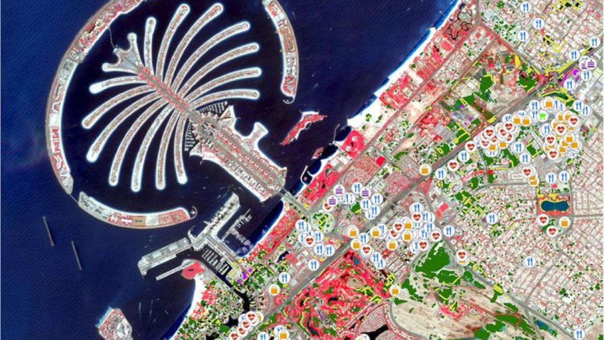
The Mohamed bin Zayed University of Artificial Intelligence (MBZUAI) in Abu Dhabi is pioneering the use of artificial intelligence (AI) for global urban planning to address the challenges posed by extreme weather events and climate change. Following a severe weather system on April 16 that affected the Gulf region, including the UAE, MBZUAI’s team, led by Dr. Salman Khan, Associate Professor of Computer Vision, has developed a prototype using AI and computer vision to analyze satellite data for flood assessment.
This tool, focusing on areas like Palm Jumeirah in Dubai, Musaffah in Abu Dhabi, and Al Buraimi in Oman, compares satellite imagery before and after heavy rains to identify changes. According to a Gulf News report, it aims to aid local authorities in quickly evaluating the effects of rainfall by highlighting water-logged roads and impacted infrastructure such as hospitals and schools.
The university intends to collaborate with various UAE government bodies like the Environment Agency – Abu Dhabi (EAD) and the Department of Municipalities and Transport (DMT) to showcase their findings. The tool currently uses publicly available data sources like Sentinel-2 and OpenStreetMap, harnessing community-contributed geographic details to enhance its accuracy and utility.


