


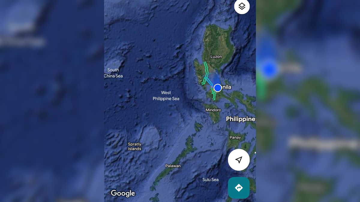

Google Maps has officially labeled the western maritime area of the Philippines as the “West Philippine Sea,” aligning with the country’s official designation for the portion of the South China Sea that falls within its exclusive economic zone (EEZ).

The change was recently observed by users, who noticed that Google’s platform now displays the name “West Philippine Sea” when viewing waters off the western coast of Luzon and around the Kalayaan Island Group, including the vicinity of the contested Scarborough Shoal.
The West Philippine Sea has long been a flashpoint in regional geopolitics, with China asserting expansive claims through its so-called “nine-dash line,” which overlaps with the Philippines’ EEZ. However, in 2016, the Permanent Court of Arbitration in The Hague ruled in favor of the Philippines, stating that China had no legal basis to claim historic rights over much of the South China Sea.

Despite the international ruling, China continues to maintain its presence in the area, leading to frequent confrontations between Chinese and Philippine vessels.
The Philippine government officially adopted the term “West Philippine Sea” through Administrative Order No. 29 in 2012 to assert sovereignty and distinguish the waters within its maritime boundaries. The term encompasses parts of the Luzon Sea, waters surrounding the Kalayaan Island Group in the Spratlys, and Bajo de Masinloc (Scarborough Shoal).
