


The Philippine Atmospheric, Geophysical and Astronomical Services Administration (PAGASA) has upgraded tropical cyclone Carina to a super typhoon on Wednesday afternoon, July 24.

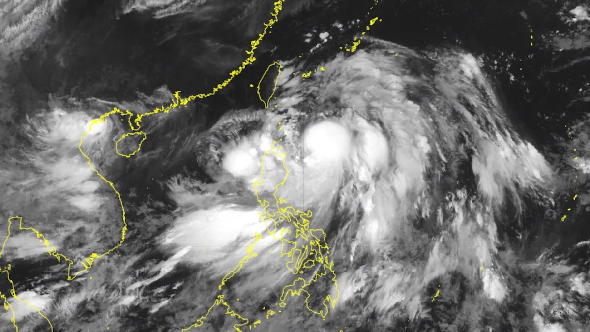
As of 4 p.m., Carina (international name Gaemi) was located 380 kilometers north of Itbayat, Batanes, moving northwestward at a speed of 20 kilometers per hour (kph). The typhoon has intensified, with maximum sustained winds of 185 kph and gusts reaching up to 230 kph. It is forecasted to make landfall in northern Taiwan this evening.
PAGASA has issued Tropical Cyclone Wind Signal No. 2 for Batanes, anticipating gale-force winds between 62 to 88 kph within the next 24 hours. Additionally, the Babuyan Islands and parts of Cagayan and Ilocos Norte are under Signal No. 1, with expected winds of 39 to 61 kph in the next 36 hours.
Heavy rainfall is predicted, with Batanes and the Babuyan Islands expected to receive 50-100 mm of rain from today until tomorrow afternoon. PAGASA has warned that flooding and landslides are possible, particularly in areas already saturated with recent rainfall.

The southwest monsoon, intensified by Carina, is expected to bring moderate to intense rainfall over parts of western Luzon from today through Friday. Regions such as Ilocos, Cordillera Administrative Region, and areas of Cagayan Valley, Central Luzon, and Metro Manila should also prepare for strong to gale-force gusts in the coming days.
Carina is expected to cross Taiwan’s terrain and exit the Philippine area of responsibility on Thursday morning. The super typhoon will then cross the Taiwan Strait, with a final landfall anticipated over southeastern China by Thursday afternoon or evening.
PAGASA urges the public and local disaster risk reduction and management offices to take all necessary precautions to safeguard lives and property, especially in areas vulnerable to the hazards brought by the super typhoon.
